
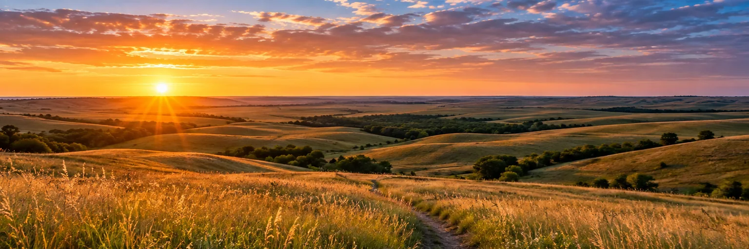
Illustrative landscape artwork, not a documentary photograph. For current conditions, confirm information with official local sources.
Some roads are about getting somewhere. The Flint Hills Scenic Byway is about looking around on the way. The curves of K-177 let the prairie unfold one ridge at a time, making the drive a natural centerpiece of a Kansas trip.
Build a route around the towns
The scenic route connects communities including Council Grove, Strong City and Cottonwood Falls. Confirm your map and fuel stops before starting; avoid relying on a single navigation app in rural areas.
Keep your stops legal and safe
Use designated pullouts or public parking. Do not stop on narrow highway shoulders or cross fences for a better angle. The view is not worth a traffic hazard.
Add a walk to the drive
Pair the byway with a short hike at Tallgrass Prairie National Preserve. You will notice more on foot: moving grasses, small flowers and the sound of wind.
Photograph the changing light
Morning and late afternoon often give more shape to the ridges. A wide lens is helpful, but patience and a safe viewpoint matter more than camera equipment.
Frequently asked questions
What highway is the Flint Hills Scenic Byway on?
The route follows Kansas Highway 177 through part of the Flint Hills.
Can I stop anywhere for photos?
No. Choose legal public parking areas and never stop where visibility or traffic makes it unsafe.
This independent article was editorially prepared on October 14, 2026. Hours, access rules and event schedules can change.